
Dencukaay:Africa-countries-northern.png
Amul kem bu ëpp bii bu jàppandi.
Africa-countries-northern.png ((360 × 392 pixels, réyaayu file bi : 10 kio, type MIME : image/png))

|
Une version vectorielle de cette image existe, dans le format « SVG ». Si elle n’est pas inférieure, elle devrait être utilisée à la place de la présente version pour des affichages en plus grandes dimensions ou nécessitant une meilleure résolution.
File:Africa-countries-northern.png → File:Africa-countries-northern.svg
Pour plus d’informations sur les images vectorielles, consultez la page de transition de Commons vers le format SVG. Voir aussi les informations à propos de la manière dont le logiciel MediaWiki gère les images au format SVG. |
 |
Faramfacce
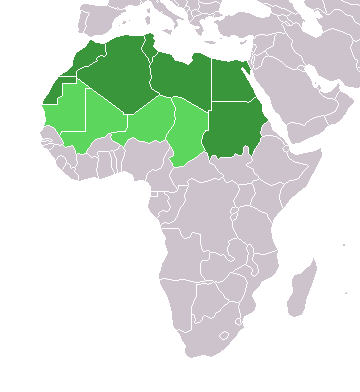
English: Map of countries in geo-political North Africa — as considered by the U.N.
- Credits
from en:Image:Africa-countries-northern.png

|
Sañalees na duppi, séddale ak/walla soppi bile liggéey ci anami GNU Free Documentation License, Sumb 1.2 walla bépp sumb buFree Software Foundation mujjee siiwal; bu amul benn pàcc bees manul soppi, te amul it menn mbind ci xët wu njëkk week wu mujj wi. Ab sotti bu sañal gi jàppandi na ci pàcc bees duppee GNU Free Documentation License. |
| Jàppandeeb bii dencukaay a ngi aju ci sañal gu Creative Commons Féetale-Séddoo ci gennug anam 3.0 Unported | ||
. | ||
| Ce bandeau de licence a été ajouté à ce fichier dans le cadre de la procédure de mise à jour des licences des images sous GFDL. |
Jaar-jaaru dencukaay bi
Cuqal cib taariix/waxtu ngir gis ni dencukaay bi meloon ca jamono jooju.
| Taariix ak Waxtu | Tuutal | Dayoo | Jëfandikukat | Saraa | |
|---|---|---|---|---|---|
| teew | 17 Maars 2018 à 15:22 | | 360 × 392 (10 kio) | Maphobbyist | Montenegro border |
| 31 Maars 2016 à 21:00 |  | 360 × 392 (10 kio) | Fry1989 | Reverted to version as of 16:12, 13 January 2014 (UTC) | |
| 7 Nowembar 2015 à 09:37 |  | 360 × 392 (10 kio) | Hpyounes | correction | |
| 13 Samwiyee 2014 à 16:12 |  | 360 × 392 (10 kio) | VVVF | See http://unstats.un.org/unsd/methods/m49/m49regin.htm | |
| 13 Samwiyee 2014 à 15:59 |  | 360 × 392 (13 kio) | VVVF | Reverted to version as of 20:15, 9 July 2011. See http://unstats.un.org/unsd/methods/m49/m49regin.htm | |
| 20 Sulet 2011 à 12:47 |  | 360 × 392 (7 kio) | Kahusi | See http://unstats.un.org/unsd/methods/m49/m49regin.htm | |
| 9 Sulet 2011 à 20:15 |  | 360 × 392 (13 kio) | Maphobbyist | South Sudan has become independent on July 9, 2011. Sudan and South Sudan are shown with the new international border between them. | |
| 5 Mee 2006 à 11:13 |  | 360 × 392 (4 kio) | Hautala | optimized with png | |
| 20 Awril 2005 à 16:30 |  | 360 × 392 (14 kio) | Yonghokim | map of countries in Northern Africa. from en:Image:Africa-countries-northern.png {{GFDL}} |
Xët yi am wii ŋara
Amul wenn xët wuy jëfandikoo bii dencukaay.
Fépp fees jëfandikoo dencukaay bi
Yeneen wiki yiy toftal dañuy jëfandikoo itam bii dencukaay:
- Jëfandikoo nañu ko ci ce.wikipedia.org
- Jëfandikoo nañu ko ci es.wikipedia.org
- Jëfandikoo nañu ko ci fr.wikipedia.org
- Jëfandikoo nañu ko ci he.wikipedia.org
- Jëfandikoo nañu ko ci ru.wikipedia.org
- Jëfandikoo nañu ko ci sc.wikipedia.org
- Jëfandikoo nañu ko ci sv.wikinews.org